Biology
The use of sUAS for biological studies has become an increasingly effective tool for collecting large volumes of data. Integrating drone technology not only allows biologist to access unsafe, unstable and difficult terrain but also capture real-time imagery for more long-term environmental analysis.
UAV Drone services include:
High (4k) Resolution Aerial Imagery and Videos
360° Aerial Imagery
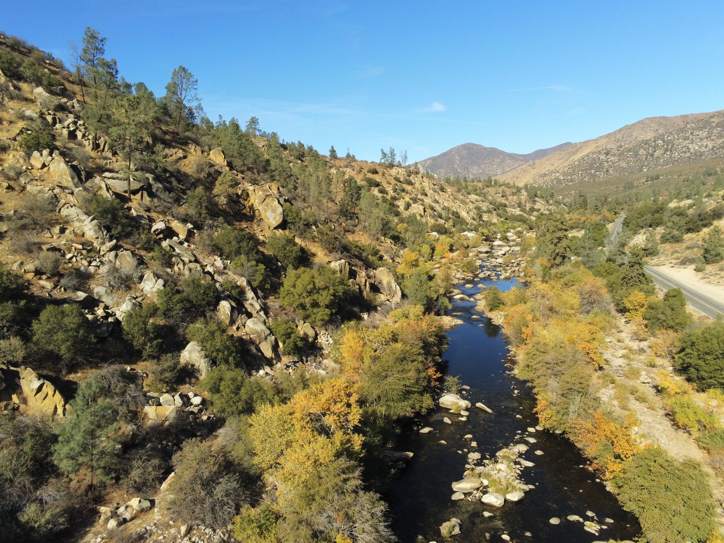
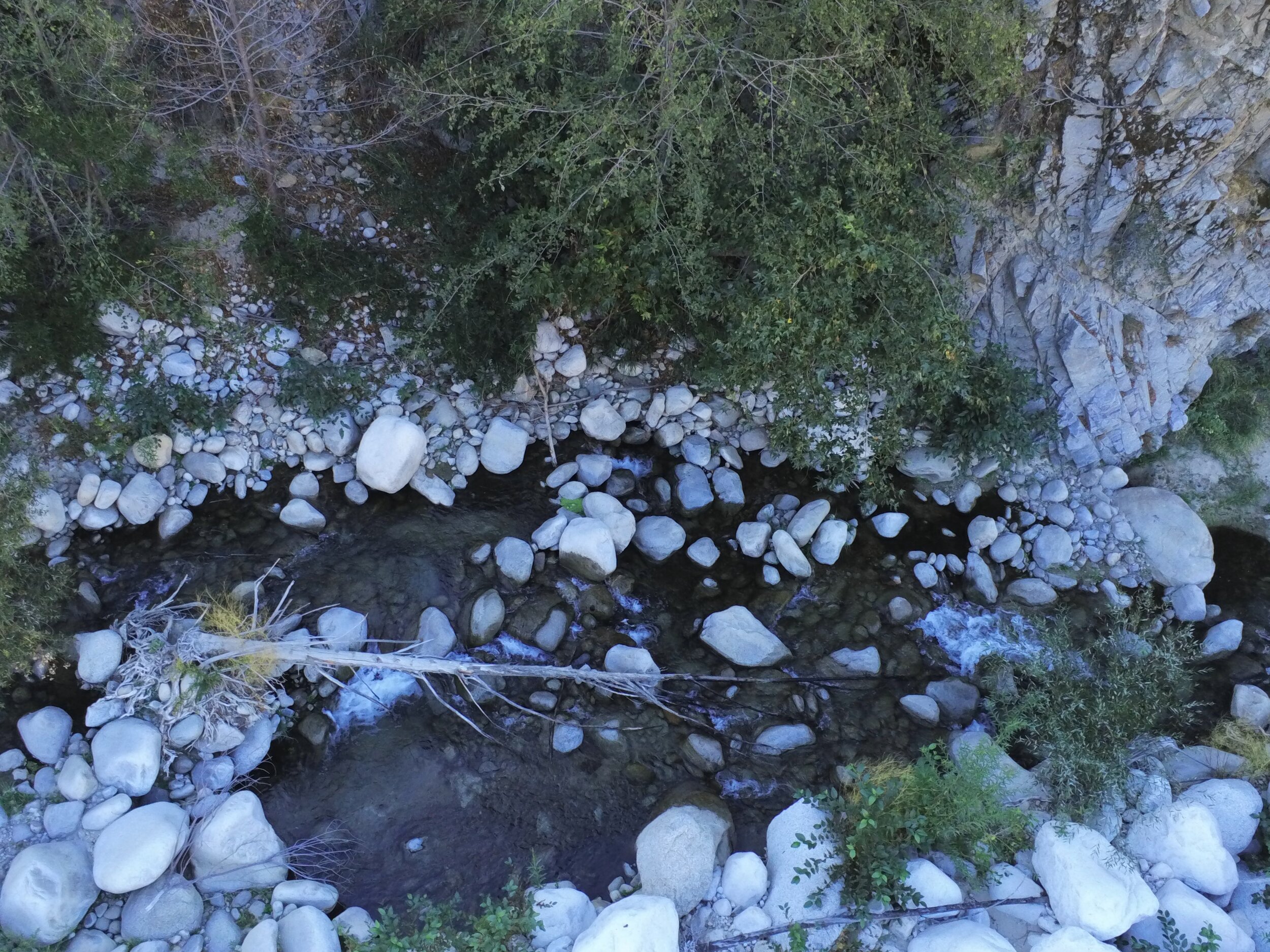
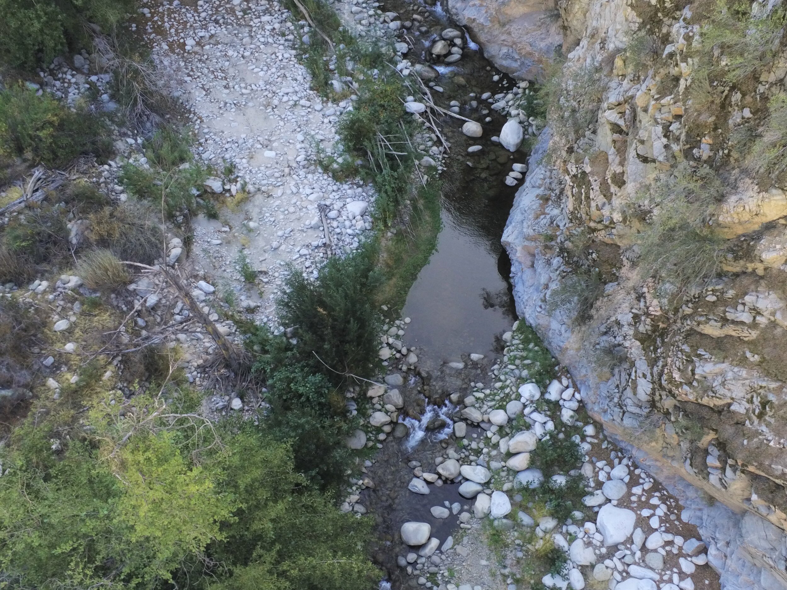
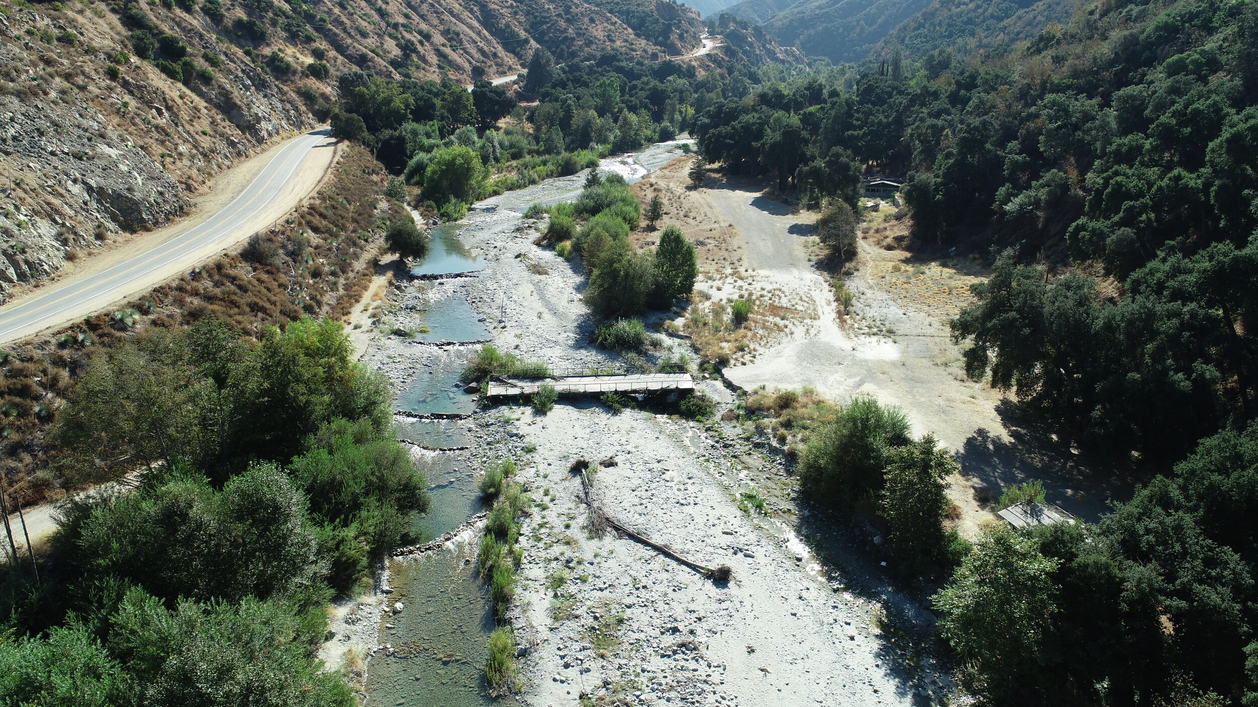
Riparian Habitat Inspections
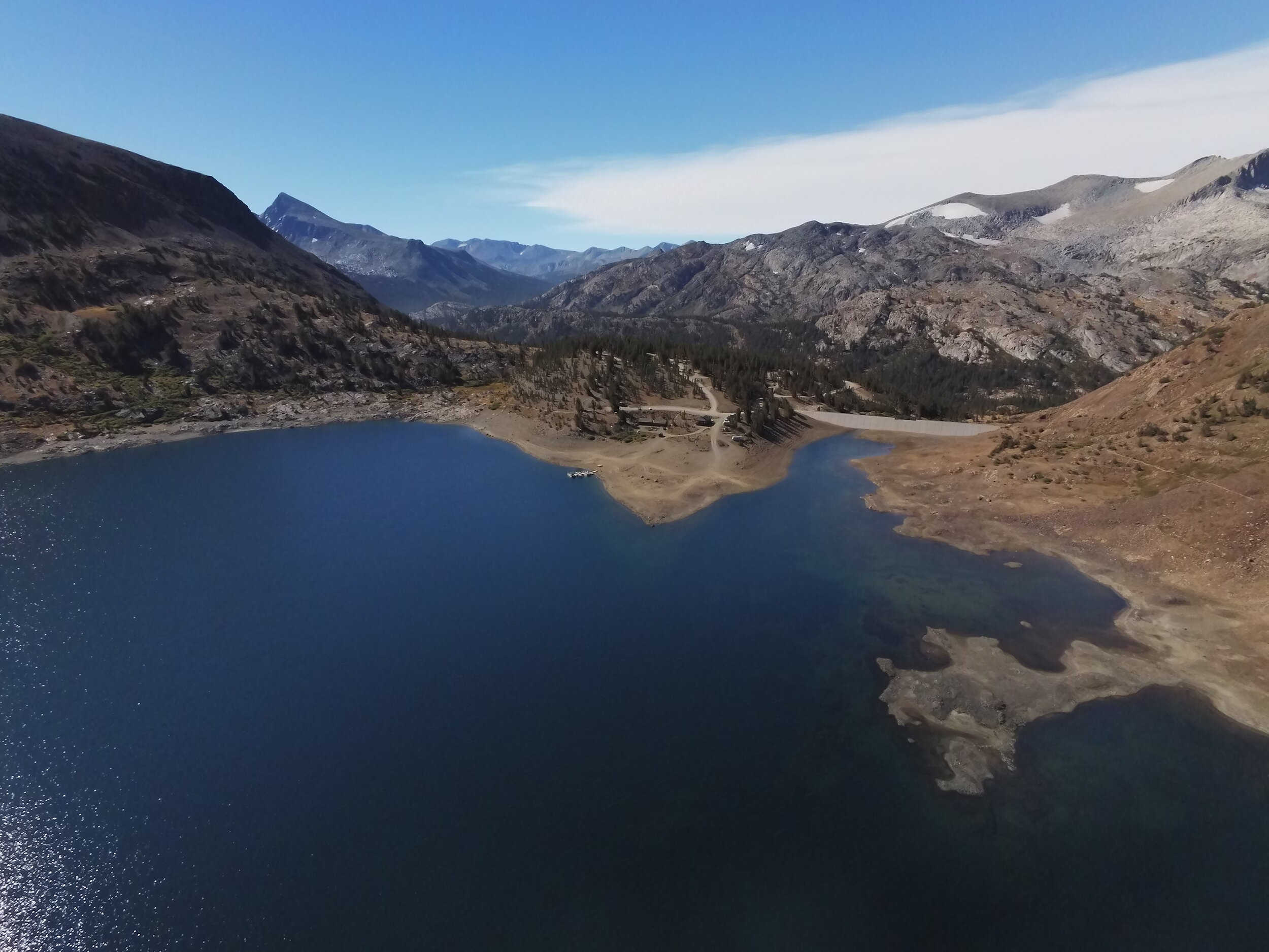
Stream/River/Lake Inspections
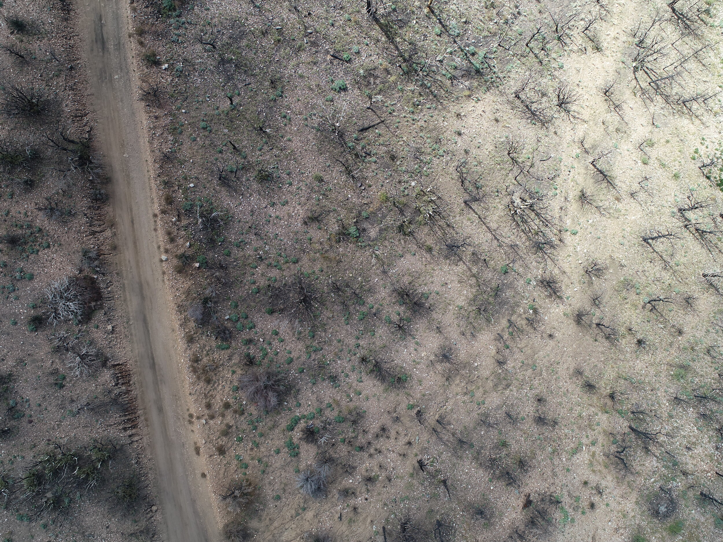
Post Fire Inspections
Thermal Imagery
AutoCAD and GIS Integration
Orthomosaic Photography with Google Earth Overlay
3D Point Clouds
bird's eye view
CASC's has the ability to capture, view and analyze aerial imagery in ways that save time and reduce costs by streamlining site survey processes. As an essential design tool, drone mapping is an innovative and efficient method for obtaining accurate and on-demand data.
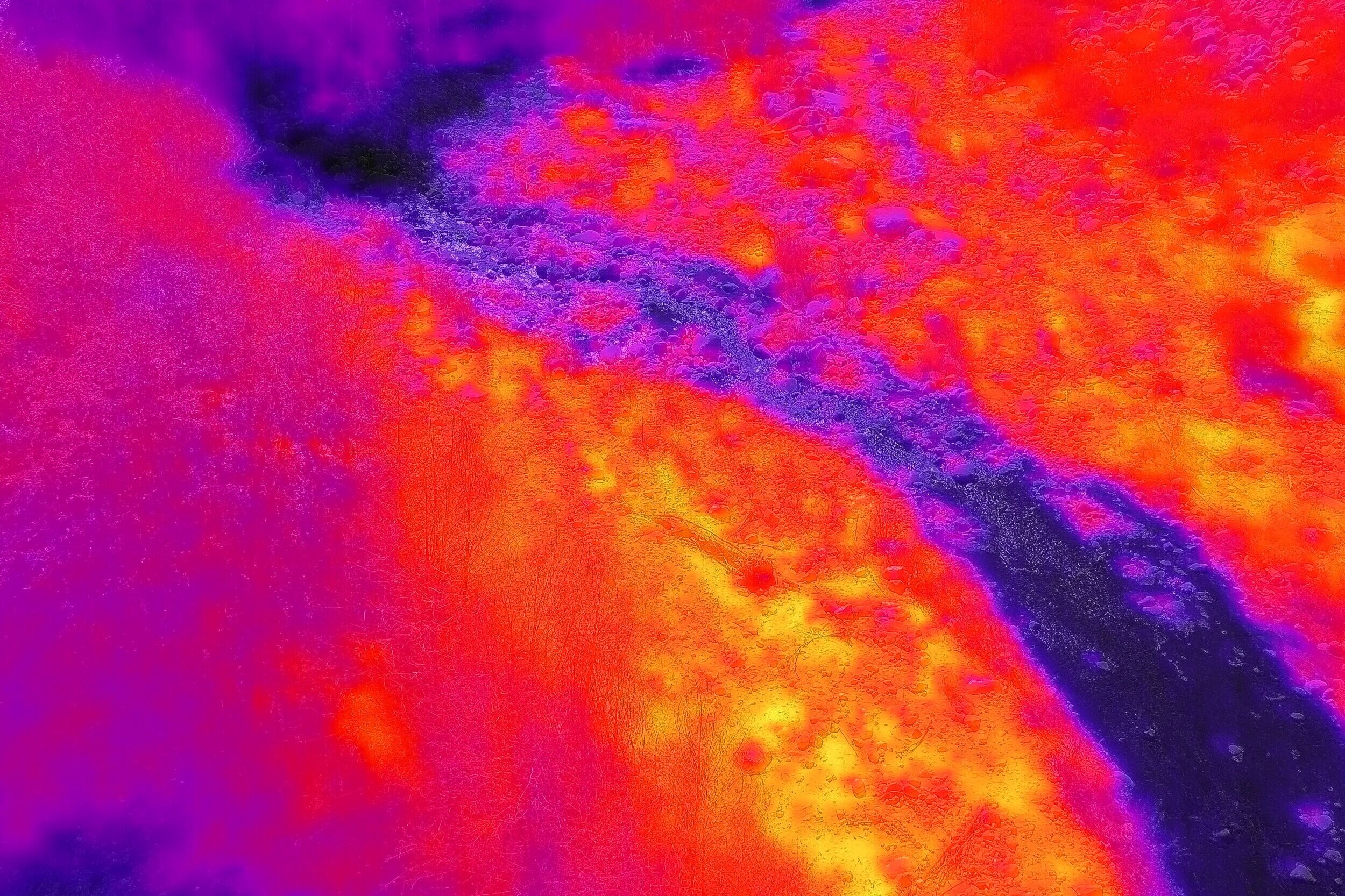
Thermal Imagery
CASC utilizes infrared thermal imagery to assist biologists with identifying species, habitats and changes to the ecosystem.

3d MODELING & Orthomosaics
CASC delivers drone-based 3D models and renderings that are great tools for interactively visualizing project sites. Share maps and models to keep stakeholders and team members up to date.