
Drone/small unmanned aircraft systems
The use of Small Unmanned Aircraft Systems (sUAS, or drones) has become a valuable tool for a variety of project types. Lead by our Association for Unmanned Vehicle Systems International (AUVSI) Top Operator Program (TOP) Level 2 Pilot, Casc’s team of FAA certified UAS pilots bring the skills and experience necessary to analyze and integrate UAS data capture that will enhance and your project.
CASC SERVES THE FOLLOWING INDUSTRIES:

Land development
Energy/utility Infrastructure

Biology

public works
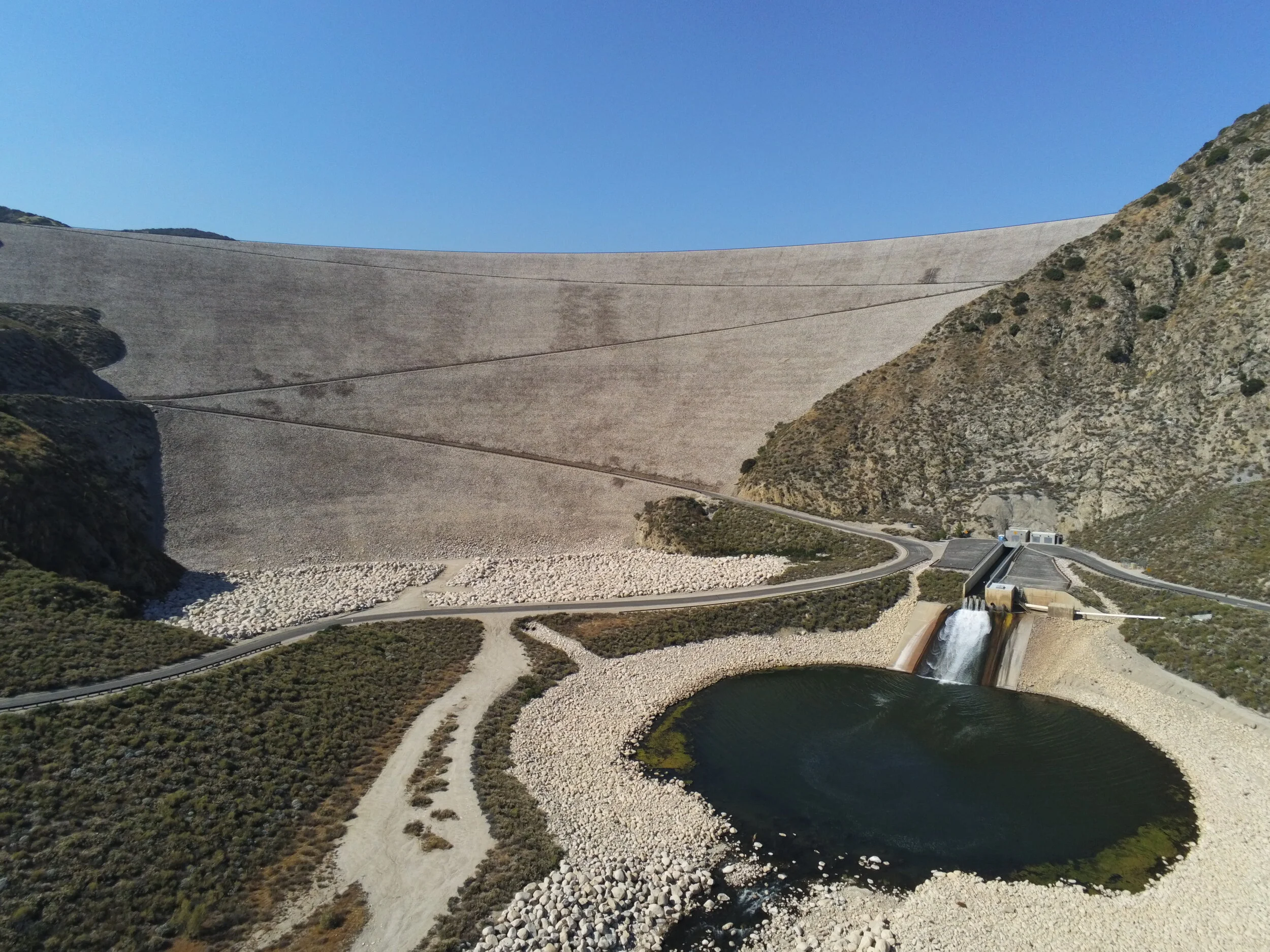
360° View
One of the most difficult challenges when analyzing a project site is the ability to capture the entirety of the project. That is why Casc implements 360° imagery to maximize data capture and prevent areas of a project from being overlooked.
Please experiment with the 360° capabilities by clicking and dragging the image to pan around the project site or by scrolling to zoom in and out of the photo.
