Land Development
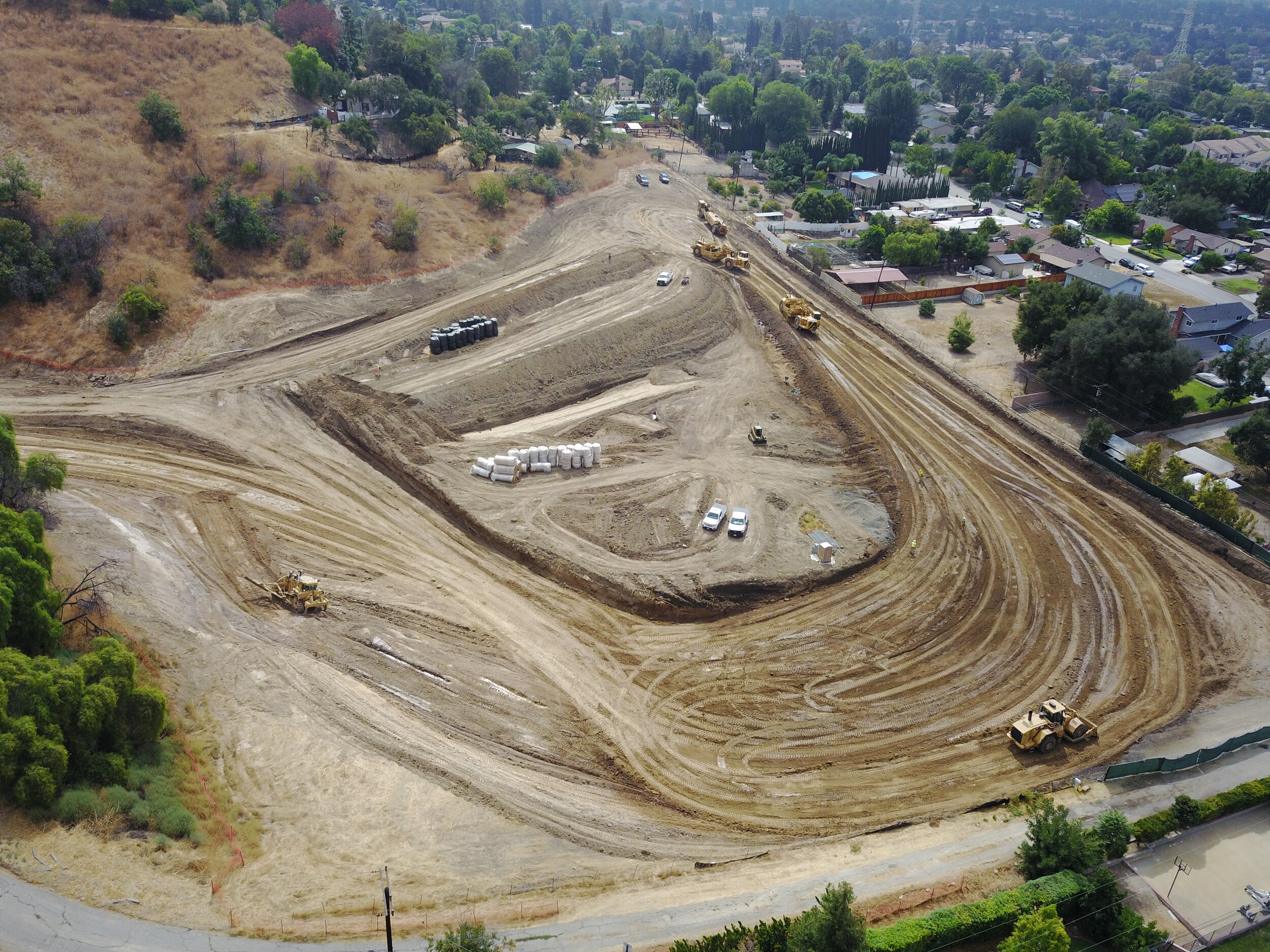
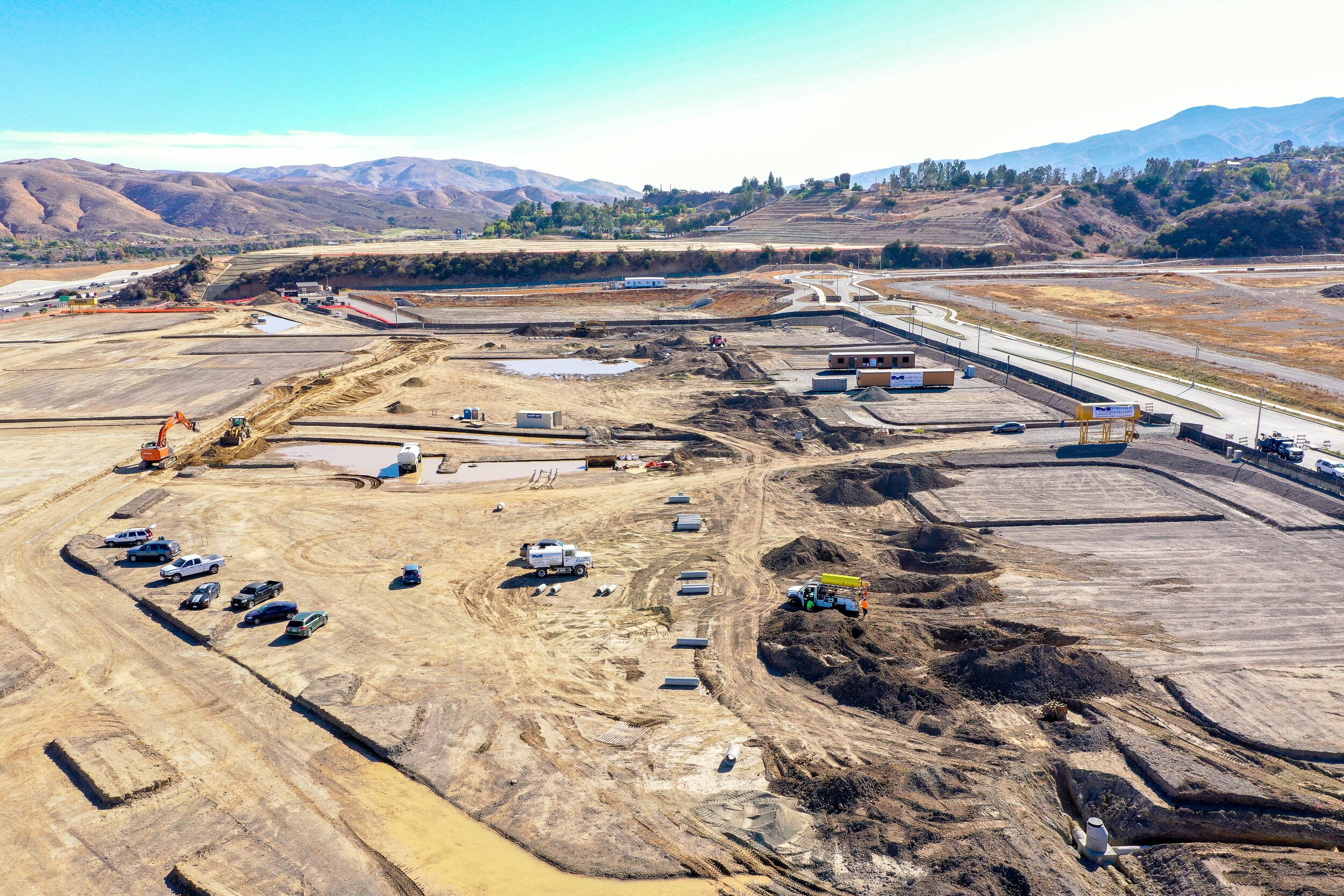
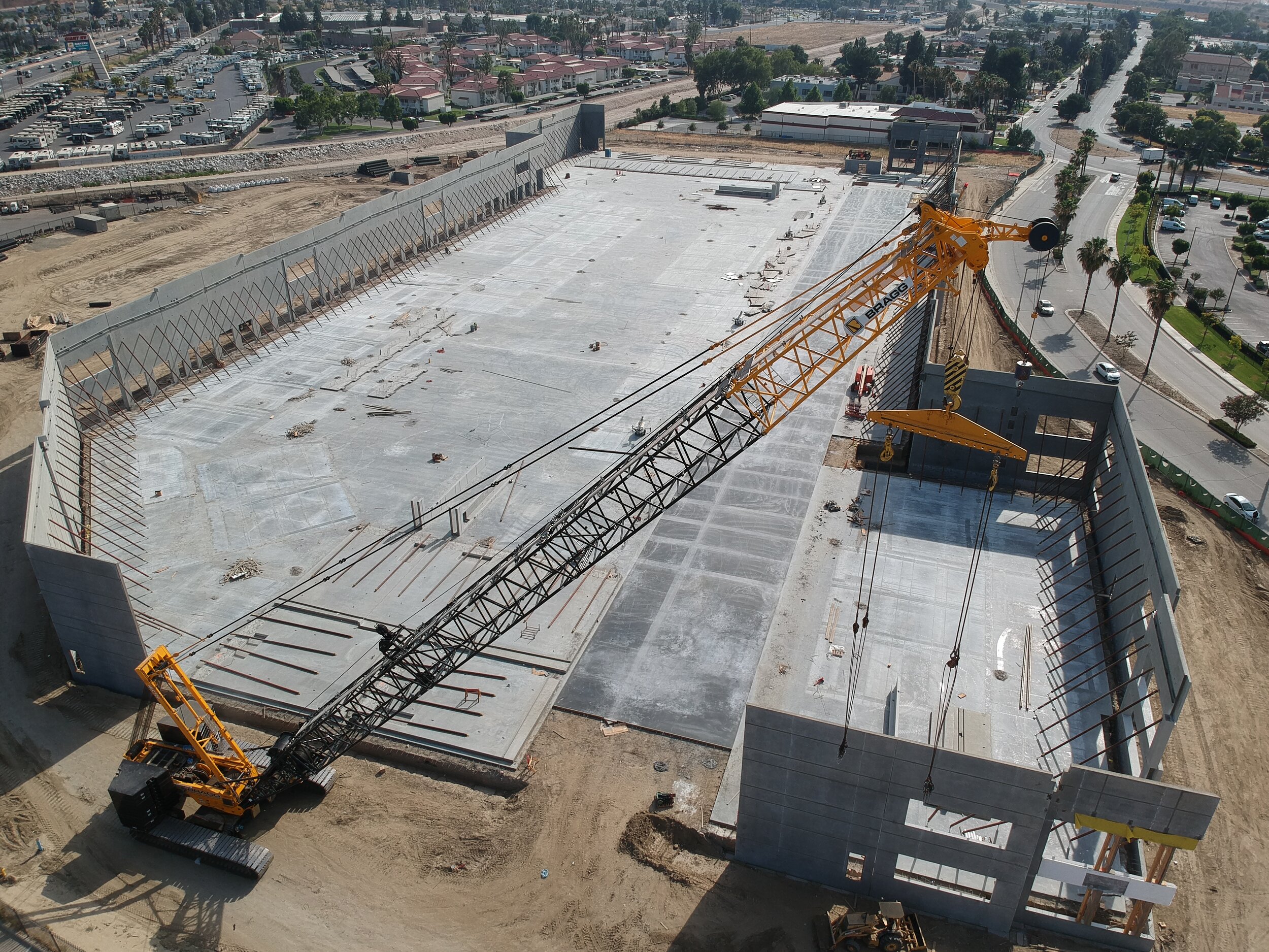
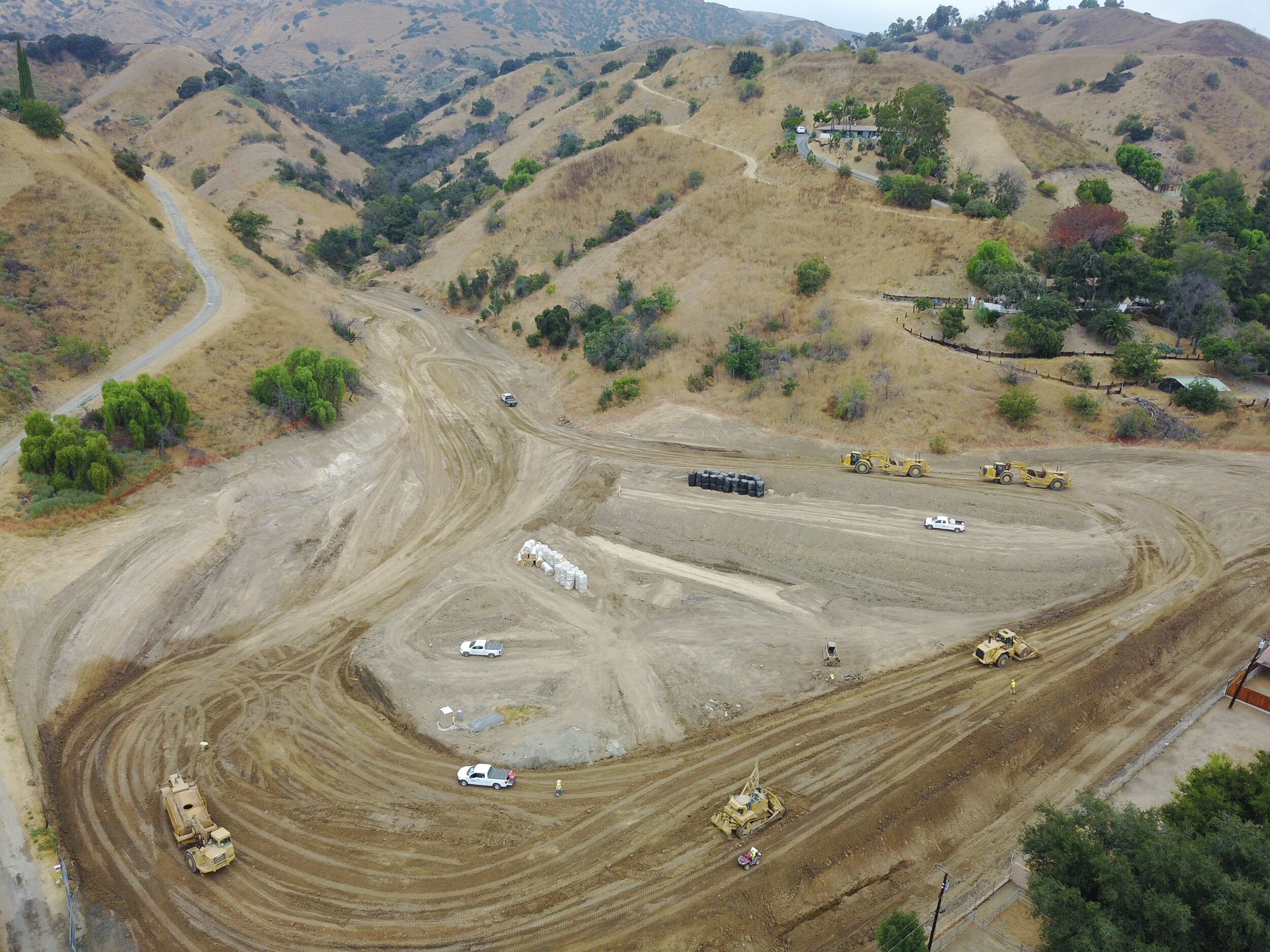
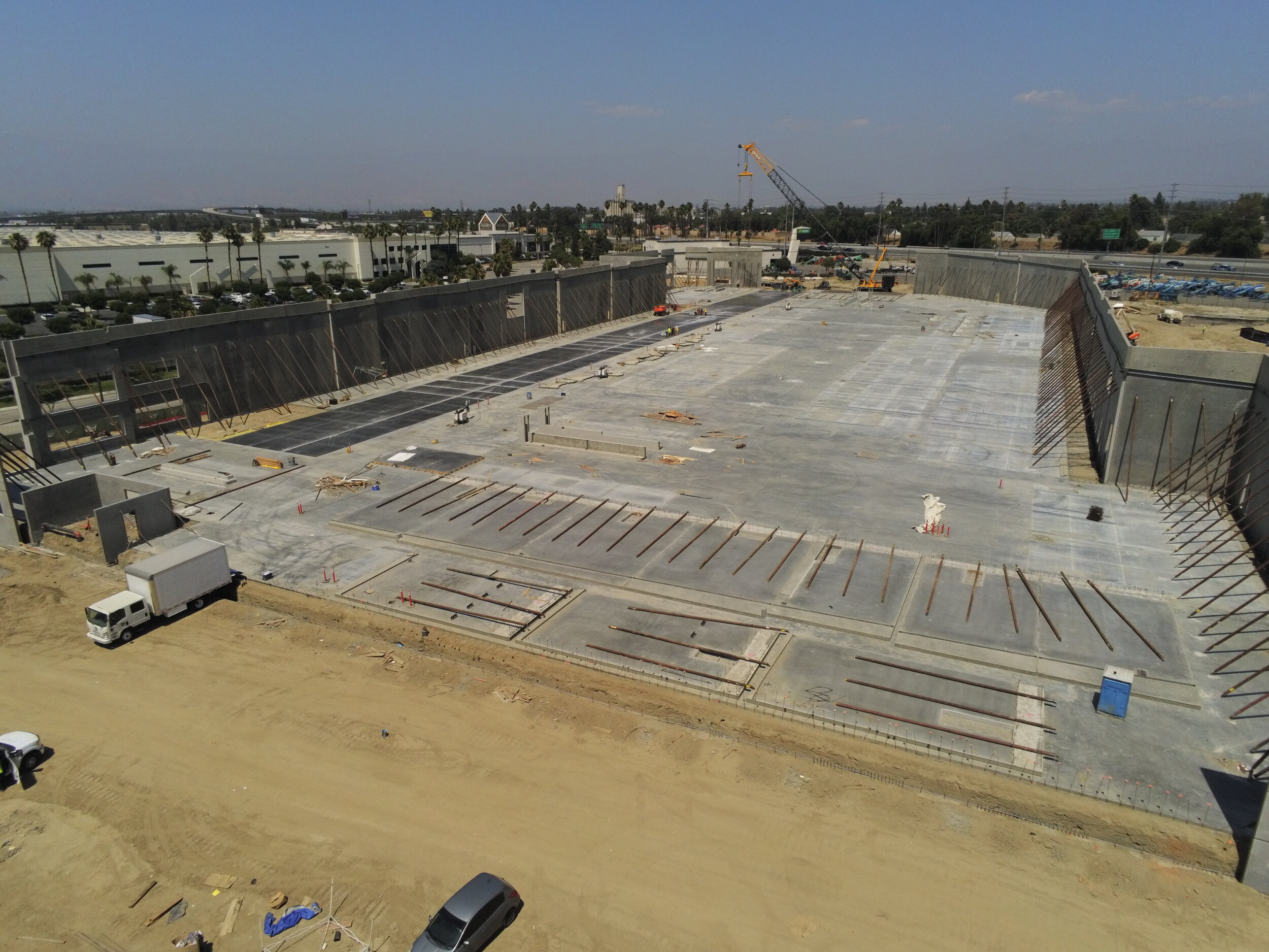
The integration of sUAS has become a valuable tool for all phases of project development. Through the utilization of drone technology site inspections can be executed more efficiently, safely and at a reduced cost.
UAV Drone services include:
High (4k) Resolution Aerial Imagery and Videos
360° Aerial Imagery
Aerial Imagery with Grading Plan Overlay
Construction and Environmental Compliance Monitoring
Notice of Termination (NOT) Documentation Support
Topographic Surveys, Distance and Area Calculations
AutoCAD and GIS Integration
Earthwork and Stockpile Volume Calculations
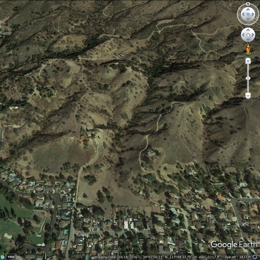
Orthomosaic Photography with Google Earth Overlay
3D Point Clouds
bird's eye view
CASC's has the ability to capture, view and analyze aerial imagery in ways that save time and reduce costs by streamlining site survey processes. As an essential design tool, drone mapping is an innovative and efficient method for obtaining accurate and on-demand data.
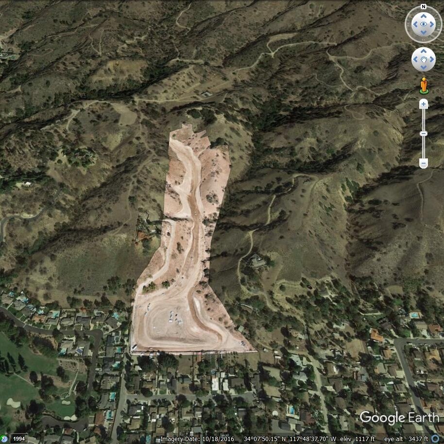
Aerial Imagery with Grading Plan Overlay
CASC overlays aerial imagery capture with grading plans to provide contractors with a new perspective of the project site. This application assists with risk management by capturing video and images of hard-to-reach areas, chronicling construction progress, identifying potential safety concerns, and documenting environmental compliance.

Notice of Termination (NOT) Document Support
CASC delivers aerial imagery of completed construction sites to assist with notice of termination documentation by identifying and calculating total stabilized area more quickly and efficiently.