Public Works/transportation
The integration of sUAS within the public works sector has allowed clients to collect more comprehensive data of various project aspects. Data collected through drone technologies has proven to be a valuable tool when analyzing trends and potential issues.
sUAS Drone services include:
High (4k) Resolution Aerial Imagery and Videos
360° Aerial Imagery
Campus Improvement Inspections
On-Call Infrastructure Inspections
AutoCAD and GIS Integration
Orthomosaic Photography with Google Earth Overlay
3D Point Clouds
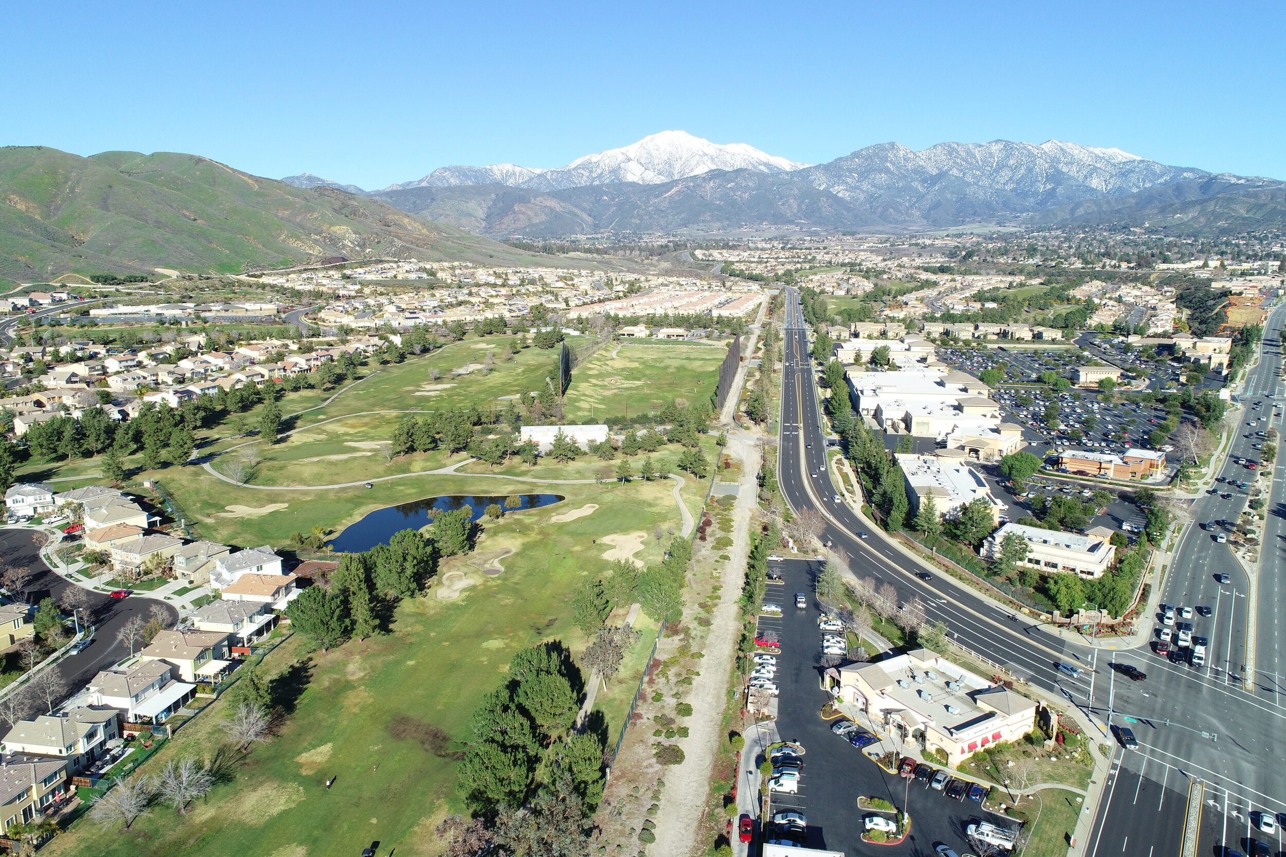
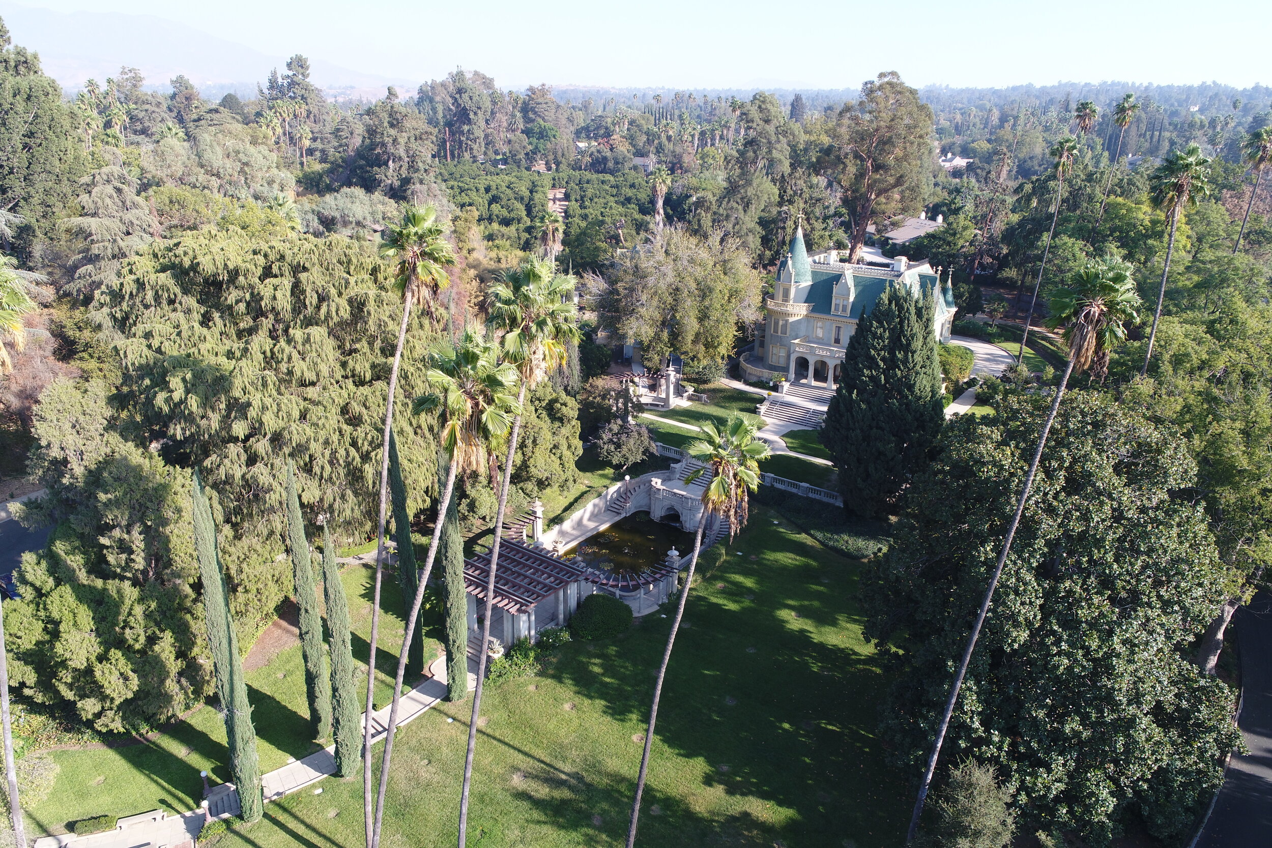
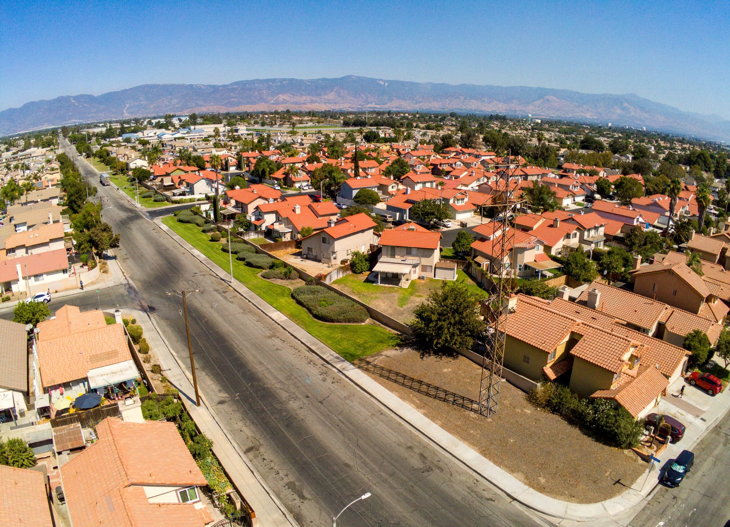
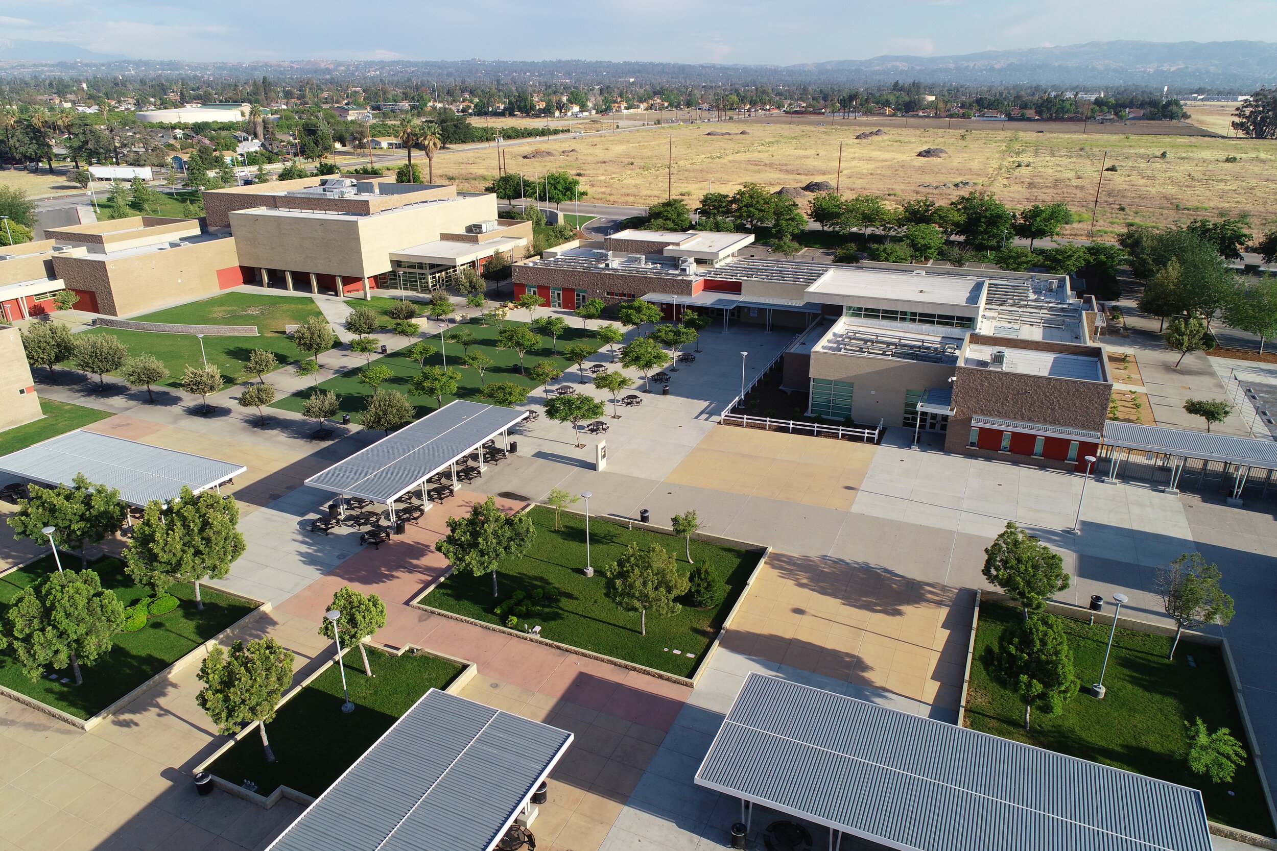
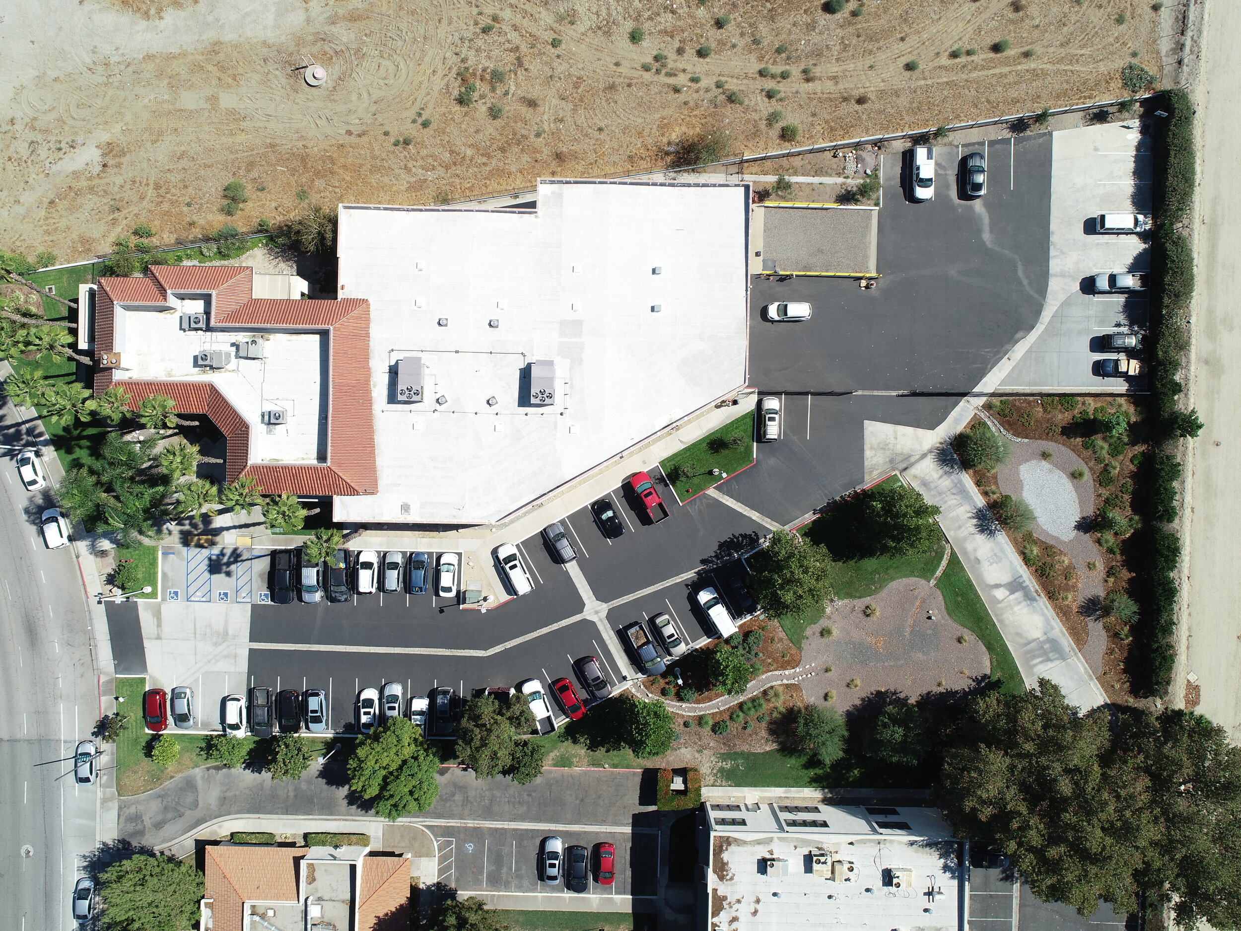
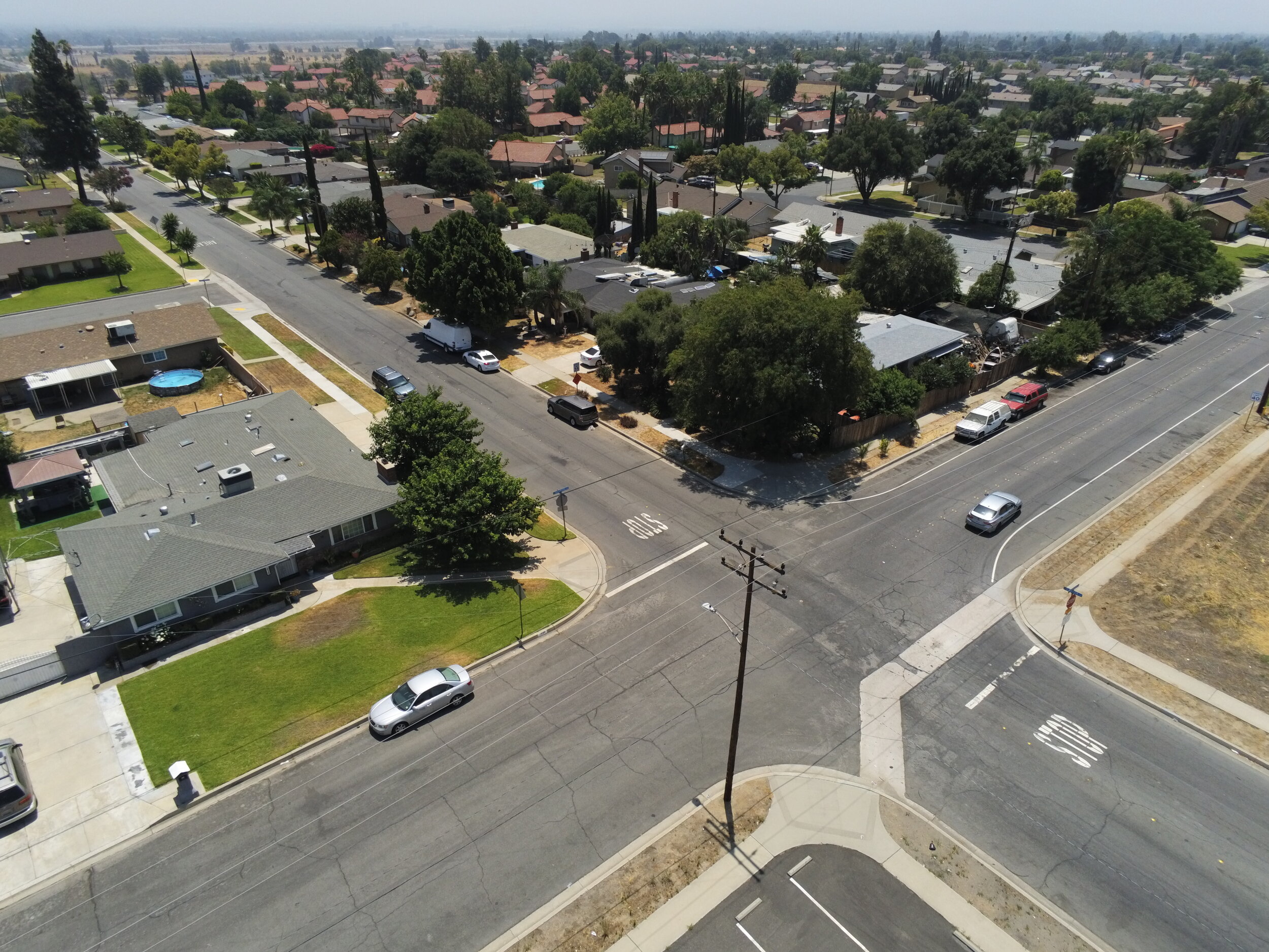
BIRD'S EYE VIEW
CASC's has the ability to capture, view and analyze aerial imagery in ways that save time and reduce costs by streamlining site survey processes. As an essential design tool, drone mapping is an innovative and efficient method for obtaining accurate and on-demand data.

THERMAL IMAGERY
Utilizing thermal imagery, CASC is able to visually measure heat signatures produced in public areas such as the parking lot seen above. By measuring heat, changes to landscape and pavement design can be made to mitigate heat output and cut down on irrigation and air conditioning costs.

3D MODELING & ORTHOMOSAICS
CASC delivers drone-based 3D models and renderings that are great tools for interactively visualizing project sites. Share maps and models to keep stakeholders and team members up to date.